 GEIMAS
True print scale
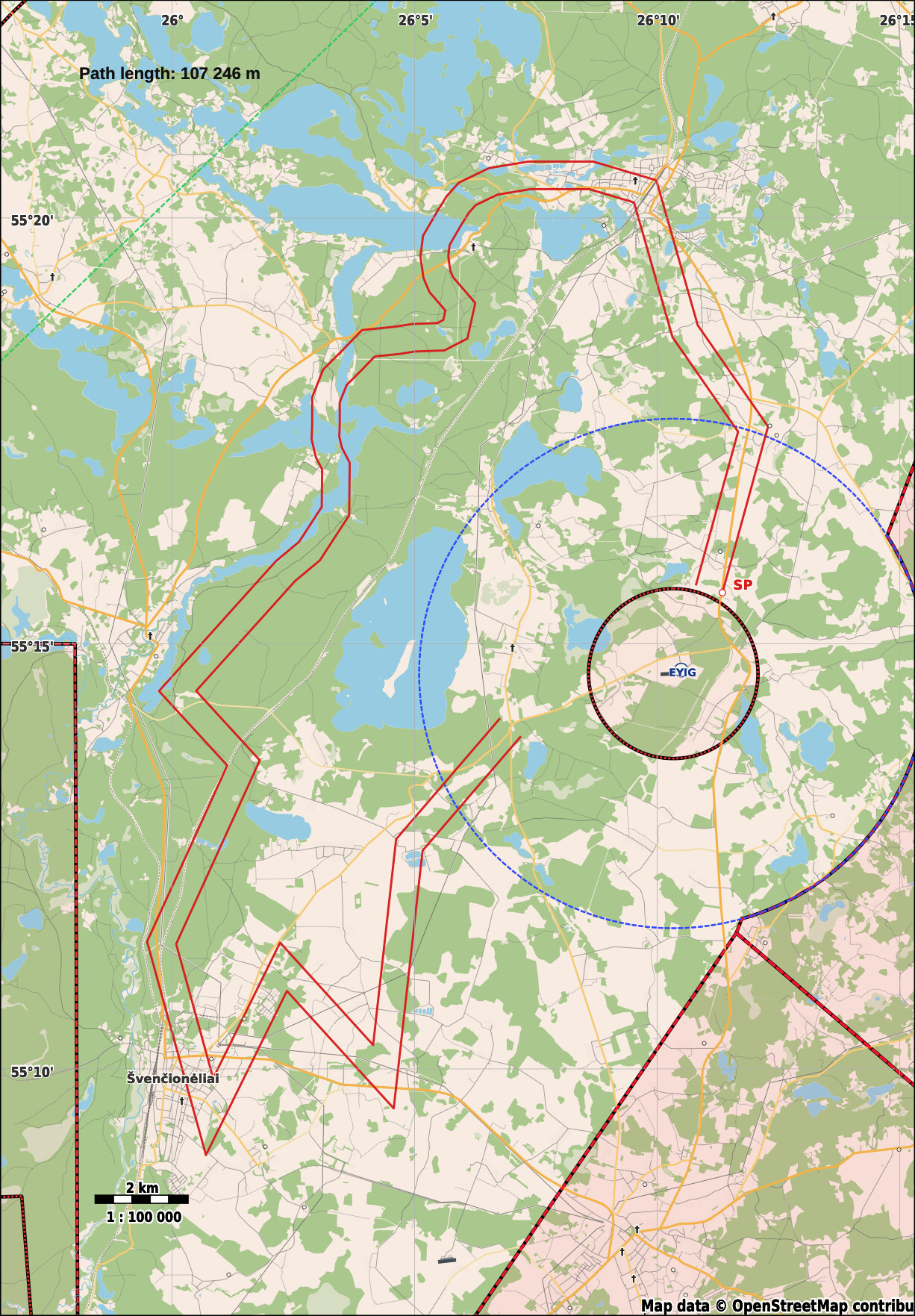
Generate maps prepared for 1:100 000 and 1:200 000 printing without rebuilding the route by hand.
Air navigation race platform
Built for general aviation and ultralight air navigation competitions. Turn a race route into a clear, high-quality aviation map — then manage tasks, tracks, scores and public results in the same platform.
For general aviation and ultralights
GEIMAS turns route data into a consistent map that organisers can brief and pilots can print. No manual stitching, scaling or last-minute graphic work.
Generate maps prepared for 1:100 000 and 1:200 000 printing without rebuilding the route by hand.
Routes, start points, aerodromes, airspace and useful ground features remain clear on paper.
Download sharp, print-ready output that stays readable from briefing room to cockpit.
The same competition, task and scoring data stays connected inside GEIMAS.
Built for the cockpit
The generated map keeps the competition route prominent without losing the geographic and aviation context around it.
Map shop
Until the online shop is ready, every map order is prepared individually. Send the route scope and deadline — we will confirm the required output and price before starting.
A custom, print-ready map for one training route, prepared at the agreed scale.
Contact for pricing ↗A route-first aviation map for an air navigation race, including the agreed operational context.
Contact for pricing ↗A coordinated set of maps for several competition tasks, with consistent scale, styling and output.
Contact for pricing ↗Include the competition or training location, number of routes, preferred scale and required date.
From route to result
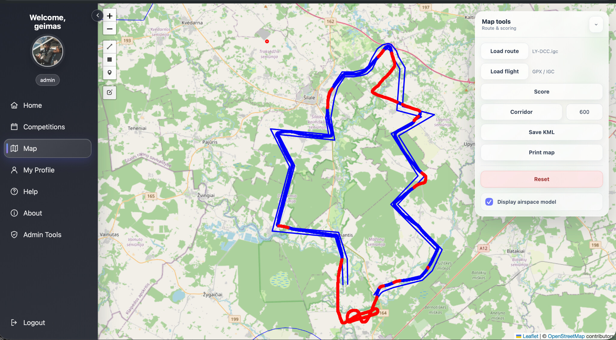
Load a route or build the competition task using the map tools.
Choose the print scale and let GEIMAS generate the competition-ready map.
Process flight tracks, save penalties and publish the official standings.
Product roadmap
A planned GEIMAS mobile app will let pilots record and share live GPS position during competitions, giving organisers a clearer operational picture from start to finish.
Public competition data
Open an event to see its published tasks. Each task keeps the route map, flown tracks and official result table together in one public view.
Pilot accounts and access to competition information are free. Print-ready map generation is paid for every user.
Create a pilot account →Manage competitions, crews, tasks, tracks, maps and official standings in one place.
Start with GEIMAS ↗Ready for the next route